Open Data Interview: Dr. Brent Hall
- Karen Godbout
- March 15, 2019
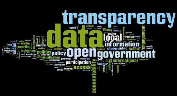
Open Data Interview: Part Five
 Dr. Brent Hall
Director, Education and Research –
Esri Canada
Toronto, ON
We spoke with Dr. Brent Hall about Open Data at Esri Canada. Below is a summary of our interview (answers given are abridged unless quoted).
Q: Please
provide a brief background regarding your interest and experience in
open data.
A: I have been in the GIS business for a long time, since the infancy of the technology back to 1986-87, so I have a deeper background than most. In the early days, Statistics Canada was still governed by the Official Secrets Act for access to its address-matched Area Master File or Single Line Street Network. Since that time of extreme security, the availability of data for GIS applications has been a main constraint of innovation. It's a longstanding need I've been interested in from the beginning. The movement for Open Access is a more recent phenomenon of the last 5-10 years, addressing the specific criteria that now help us to define and understand better what is Open and what isn't and why.
All data that can be made open without constraint should be open in my opinion. This helps to generate the reciprocal improvement of datasets by end users and providers, increasing timeliness and accuracy. Data collected through crowdsourcing should be reciprocally available to end users (produsers) in appropriate formats, facilitating continuous validation and updates, like with Open Street Map, to help foster innovation in data use. In this relationship, data ownership questions are irrelevant. It's outrageous to see some municipalities still charging for access to public data that could benefit the public good greatly were they made available. In the cost vs. access analysis, it's logical that a larger number of produsers can apply data with greater benefit. "Who pays for the acquisition of data is a burden people need to get over. It doesn't matter who pays for it. It improves everyone's position."
I have utilized open data a lot throughout my working life – mainly through government portals, latterly for research and lab resources that we develop within my group at Esri Canada. In the past these portals were purely ftp sites, which were not well documented. The movement toward open access has improved metadata quality and other standards. Confidence in open data is growing. In regard to the rural aspect, I'm a strong advocate for open data in government decision-making, especially at the local, consultative level.
Q: What
level of interest or feedback have you received in your work
regarding open data?
A: Since much of the work I do now is directed to Esri software users within the education sector, the feedback on our use of open data resources is limited. There are often privacy concerns surrounding data access, depending on the nature of the data and who collected it, and these limitations have to be respected. However, whenever the opportunity presents itself I encourage data liberation as freely available to provide good quality spatial and other data help to advance knowledge.
Q: Do
you collaborate with any agency or company on open data policy or
practice? Would you participate in a Rural Open Data Network to
share best practices and develop standards?
A: I am a member of CAC/ISO/TC211 -
Geographic information/Geomatics and collaborate on geographic data
standards through this association. I also am collaborating currently
with Open North and many universities and colleges across Canada on
projects that make use of open data. Within Esri Canada we
collaborate with local, provincial and federal government on open
data use.
Currently my group is working on a funded project with
Selkirk College focused on open data for rural communities in
southern BC. It is highly important and rewarding for me to help
small, rural communities with limited resources publish and promote
use of their data resources, by providing web programming assistance,
GIS expertise, instruction, whatever is necessary, and creating the
mechanisms to make it easy.
Q: How do you reconcile the perceived disconnect between the open data ethic and Esri as a commercial entity?
A: Esri
Canada is an open data company in my view. The Community
Map of Canada
for example, is a freely available, open topographic basemap that has
been in development from since before I joined the company. It
involves participation of many organizations and levels of government
which contribute authoritative data to it. The cynical view that
there's a predatory motive, i.e. to sell software, behind Esri's
support of open data bothers me. I think it shows a lack of knowledge
about the company and what it is all about. Clearly it is a business
–
that's why the company exists –
but the operating philosophy is to benefit society. Commercial
interests and the intent to do good don't have to be oppositional.
They can share common goals in my view.
Q: Within
your area of expertise, what challenges and opportunities do you
perceive in the further development of open data?
A: The movement has to be collaborative to survive. The challenge is to get past silos and see that data needs are not so unique. The opportunity here is to generate more public-private (for-profit and non-profit) and academic partnerships across sectors to realize the goals of openness in data collection and use.